Arrowhead Land & Wildlife · Aerial Intelligence
See the property from a different perspective.
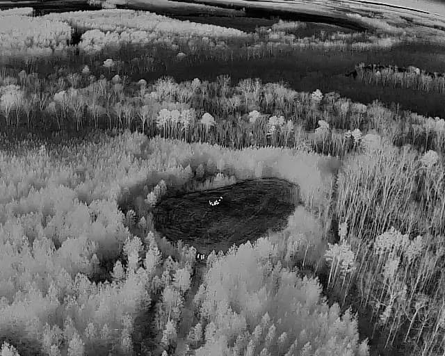
Arrowhead combines thermal drone surveys, RGB imagery, mapping, and field knowledge to show landowners what is using the property and how the ground lays out.
The flight is only the start. Observations are mapped and turned into information you can use for habitat, access, hunting, and land-management decisions.
Capabilities
Aerial intelligence built around the property.
From the controller
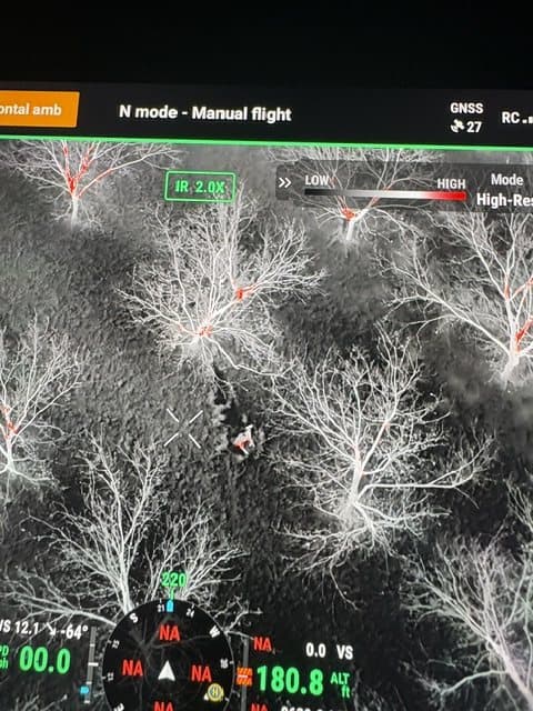
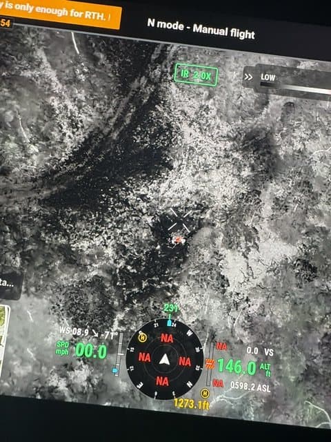
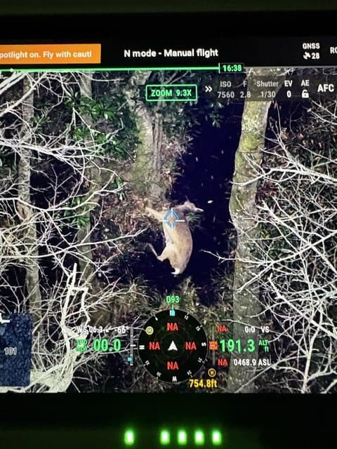
What a survey flight looks like on screen.
What it can help answer
Better information before the next management decision.
Aerial and thermal data can add another layer of information when evaluating how wildlife, habitat, openings, access routes, and property features relate to one another.
Survey scope is matched to the property and the landowner's objective. Findings represent observations from the survey period and are not a guarantee of total wildlife population, future wildlife presence, or utilization.
Integrated service
From observation to action.
The value is in connecting what the survey shows with practical land and wildlife management. Arrowhead uses mapped findings alongside a property assessment to prioritize food plots, access, habitat work, shooting lanes, and other projects.
Frequently Asked Questions
Straight answers before we step onto the property.
How does Arrowhead's thermal drone survey differ from a traditional aerial wildlife survey?
Arrowhead's thermal drone surveys are property-focused and designed to document observations in relation to habitat, openings, access and other property features. They are not presented as a scientific population census or a guarantee of total wildlife numbers.
How is a thermal drone survey different from trail cameras?
Trail cameras document activity at a single fixed location over time. A thermal survey covers the property in one flight window, which can help identify activity and travel patterns across areas that existing camera locations don't reach. The two are complementary rather than interchangeable.
What affects the accuracy of a thermal wildlife survey?
Weather, ground and air temperature, canopy cover, time of night, and wildlife movement during the flight window all affect what a thermal camera can detect. Findings reflect observations made during that specific survey period and are not a guarantee of total wildlife population, future wildlife presence, or utilization.
What do I receive after a survey: raw footage or a report?
Arrowhead provides mapped findings and observations tied to property features, along with property-level survey documentation, rather than a large file of unedited raw footage. The goal is information you can use for management decisions, not just video.
What flight conditions or restrictions can affect a thermal survey?
Survey timing and feasibility can depend on weather, airspace, property location and other flight-specific conditions. Arrowhead reviews the planned mission before scheduling and conducts commercial drone operations under applicable FAA requirements.
Where does Arrowhead provide thermal wildlife surveys and aerial property mapping?
Arrowhead provides thermal wildlife surveys and aerial property mapping across Southwest and Middle Georgia, primarily around Albany, Leesburg, Lee County, Dougherty County, Perry, Warner Robins and Houston County. Additional properties can be considered based on project fit, acreage and flight logistics.
Understand more before you manage more.
Tell us about the property, acreage, location, and what you want to learn. We'll help define an aerial survey scope that fits the objective.