Arrowhead Land & Wildlife · Property Consulting
A better hunting property starts with a better plan.
Food plots, stands, bedding cover, access, pressure, and habitat all affect each other. Improving one piece without understanding the rest can mean expensive work that misses the real problem.
Arrowhead Land & Wildlife provides practical hunting-property assessments and management recommendations built around the tract, your goals, and how the property is actually used.
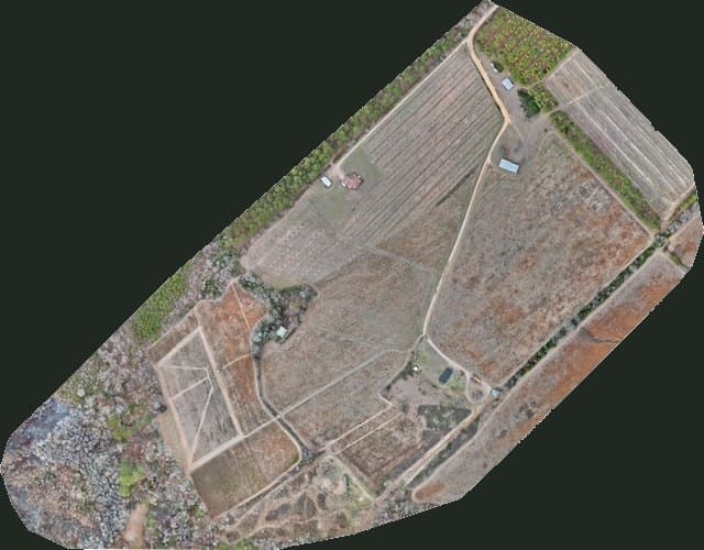
Assessment areas may include
Look at the whole property before choosing the next project.
From the field
Mapping the property, then working it.
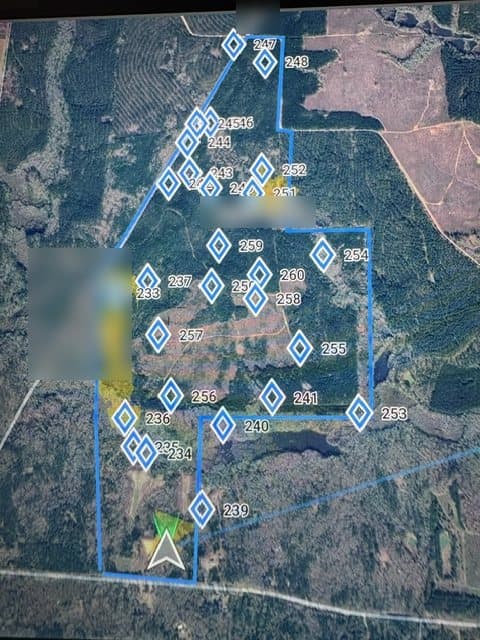
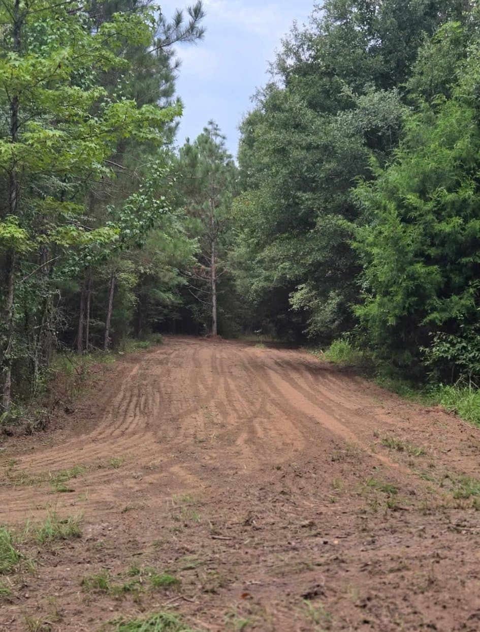
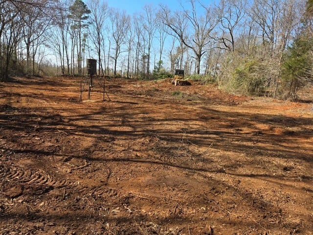
Property Assessment
Recommendations built around your tract and goals.
The base Property Assessment is our recommended starting point for owners who want a clearer understanding of where to spend time and money first.
Larger, complex or fragmented tracts may require additional field time, mapping or consulting. We scope that before committing to the work rather than forcing every property into one acreage promise.
From plan to execution
We can help put the recommendations into action.
When the plan calls for food-plot work, access improvements, shooting lanes, grading, trail maintenance, mapping, or other rural-property work, Arrowhead can carry out the approved scope. You are not left with a report and a list of contractors to find.
Frequently Asked Questions
Straight answers before we step onto the property.
What does a hunting property assessment look at?
A property assessment starts with the landowner's goals and evaluates the tract as a connected system. Depending on the property, that may include access and entry routes, food plots, stand locations, bedding and security cover, feeding areas, travel corridors, water, terrain, shooting lanes, habitat opportunities and priority land-management work.
Is Arrowhead's consulting only about deer hunting?
No. The exact recommendations depend on the property and the owner's goals. Arrowhead's current consulting focus is practical hunting-property and habitat planning, including how access, cover, forage, land improvements and wildlife use interact across the tract.
Can Arrowhead help implement the recommendations after the assessment?
Yes. When the approved plan calls for food-plot preparation, shooting lanes, trails, access work, grading, mapping or related rural-property improvements, Arrowhead can coordinate the land work instead of leaving the owner with a plan and no execution path.
Do you use aerial mapping or thermal wildlife surveys during consulting?
They can be added when they provide useful information for the property. Aerial mapping, RGB imagery and thermal wildlife observations can help document conditions and support management decisions, but they are tools within the larger property strategy rather than a substitute for understanding the land on the ground.
Can Arrowhead assess larger or more complex hunting properties?
Yes. Larger, fragmented or more complex tracts may require additional field time, mapping or consulting. Arrowhead scopes that work around the property rather than promising that every acreage size fits the same assessment format.
Where does Arrowhead provide hunting property consulting?
Arrowhead Land & Wildlife serves Southwest and Middle Georgia, including the Albany and Leesburg area, Lee and Dougherty counties, Perry, Warner Robins, Houston County and surrounding rural markets. Additional South Georgia properties can be considered based on project fit and mobilization.
Stop guessing at the next improvement.
Tell us what you want the property to do better, where it is located and approximately how many acres you are managing. We will help determine the right first step.