Arrowhead Land & Wildlife
Manage the land. Understand the wildlife.
Food plots, land and habitat work, property mapping, and thermal wildlife surveys for hunting and rural property across Southwest and Middle Georgia. One team, from the first walk of the property to the finished work.
- Food plots
- Land & habitat work
- Property mapping
- Thermal surveys
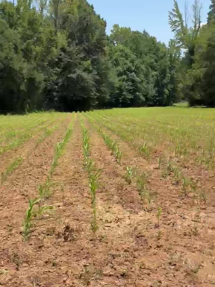
From the field
Real work on real ground.
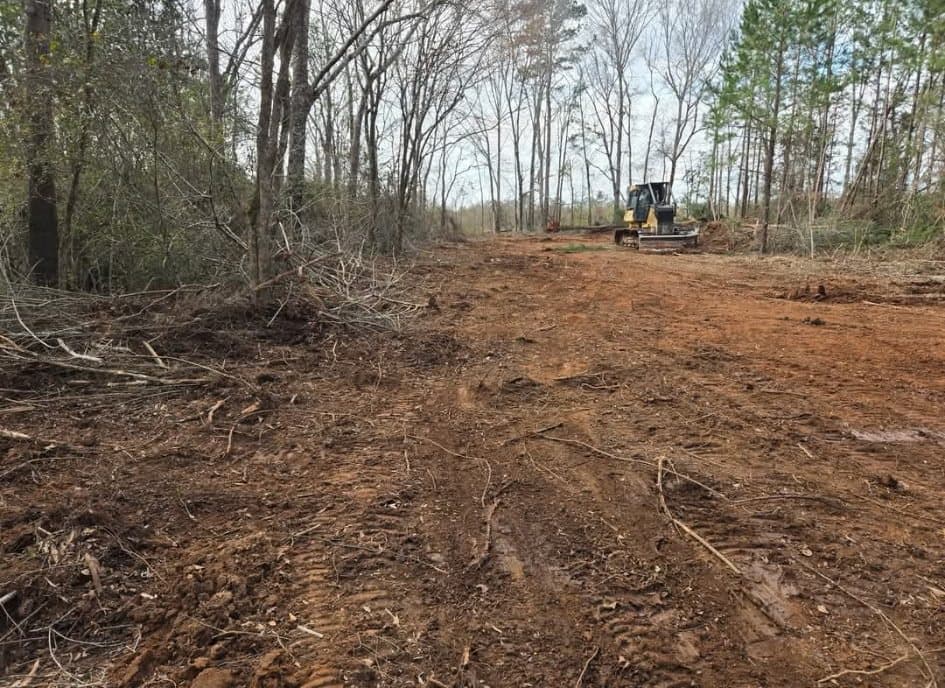
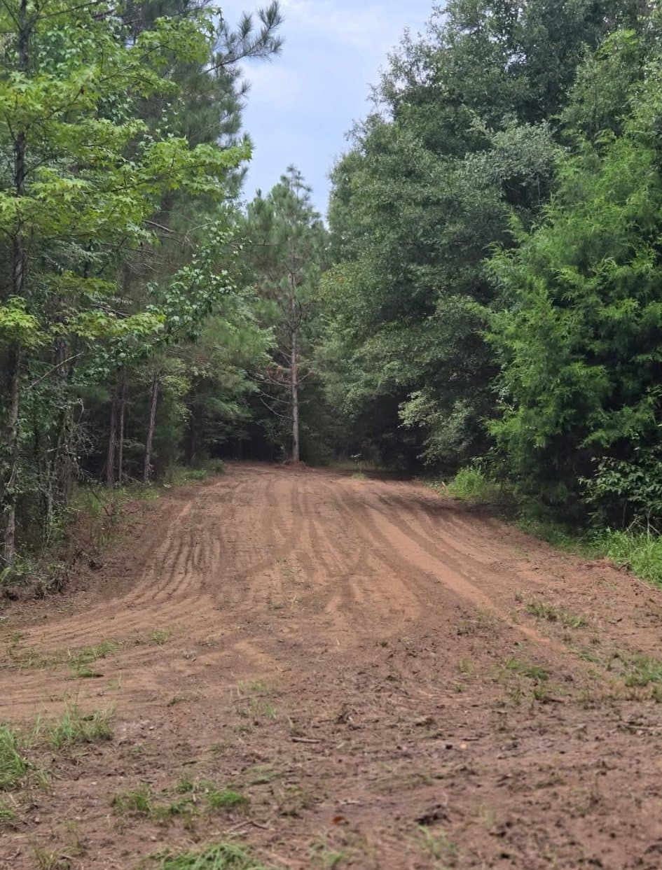
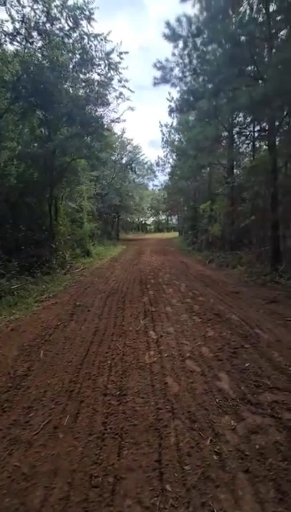
Every photo and clip on this page comes from an Arrowhead Land & Wildlife job. No stock photography, no renderings.
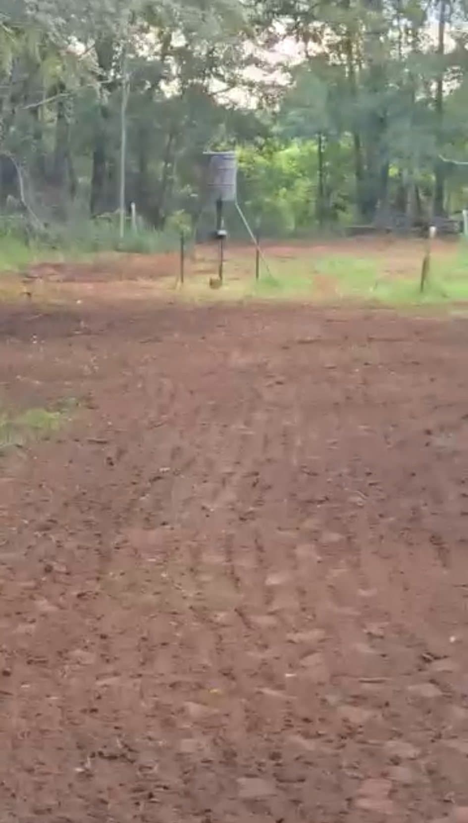
01Food plots
Plots placed for the property, prepared to grow.
Location, access, soil, seed, and timing decide how a plot performs. We prepare new ground and reclaim existing plots with equipment matched to the tract, then plan the seasons that follow.
- Bush hogging and reclamation
- Disking, tilling, and harrowing
- Seed and fertilizer spreading
- Cultipacking and finish work
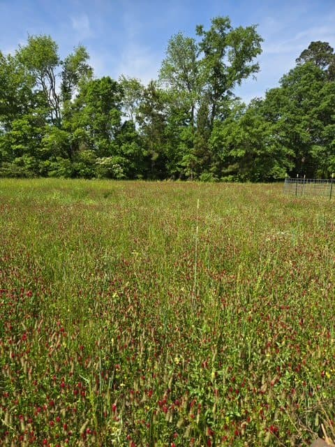
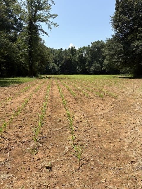
02Land & habitat work
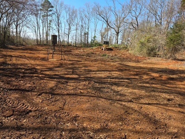
Access, openings, and ground work that make a tract usable.
Roads you can drive, lanes you can hunt, and feeder and stand sites set where they make sense. The same crew that plans the work runs the equipment.
- Clearing and shooting lanes
- Access roads and trails
- Feeder and stand sites
- Grading, rock, and culverts
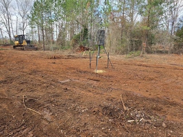
03Property mapping & consulting
See the whole property before deciding what to change.
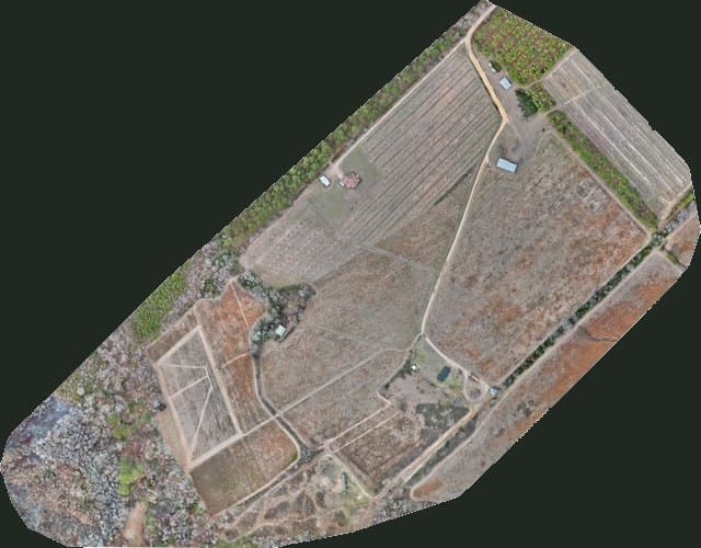
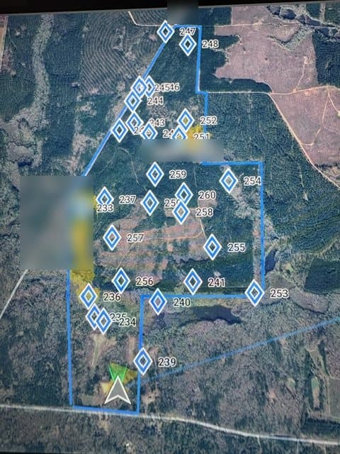
Drone mapping gives a current, stitched view of the tract. We use it to walk through access, bedding and feeding areas, stand strategy, and plot placement with you, then put the priorities in writing.
- Aerial mapping and RGB imagery
- Stand and access strategy
- Plot placement and habitat review
- Long-term management priorities
04Thermal wildlife surveys
Know what is using the property, not just what shows on a camera.
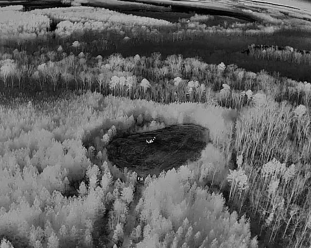
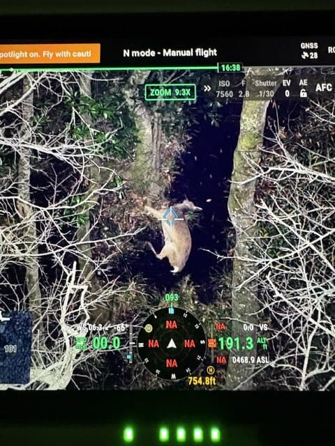
Thermal drone flights cover ground trail cameras never see. A zoom camera confirms what the thermal picks up, and findings are mapped so you can plan around them.
- Thermal survey flights
- Zoom confirmation of signatures
- Mapped observations
- Property-level reporting
Why landowners work with Arrowhead
One coordinated team for land, habitat, and property intelligence.
Part of Arrowhead Outdoors Co.
Land & Wildlife is a division of the same firefighter-owned company behind Arrowhead's landscaping, drainage, and outdoor construction work in Southwest and Middle Georgia.
One coordinated team
No separate bush hog operator, habitat consultant, and drone pilot to manage. Land work, wildlife strategy, and aerial work run through one point of contact.
The property comes first
Recommendations start with your goals and how the tract is actually used, not a package applied to every property the same way.
Scope in writing first
You get a defined scope and a written estimate before any equipment arrives.
Our process
Understand first. Improve second.
- 01
Assess the property
Your goals, access, existing plots, habitat, hunting pressure, and the problems you want solved.
- 02
Build the plan
Priority improvements, and where land work, habitat strategy, mapping, or thermal surveys add real value.
- 03
Do the work
Arrowhead schedules and runs the equipment, operators, and materials for the approved scope.
- 04
Document and follow up
Completed work, mapped findings, and next-step recommendations, so the property can be managed on purpose.
Where to start
Not sure where to start? Start with the property.
Property Assessment
A clear set of priorities for your tract.
For owners who know the property could work better and want a plan before spending on it. We evaluate access, existing plots, stand strategy, habitat, bedding and feeding areas, travel corridors, and practical land-work priorities, then give you recommendations built around your goals.
Schedule a Property AssessmentHunt Ready projects
From assessment to finished work, in one scope.
For owners who want the work done, not just recommended. Hunt Ready combines property strategy, aerial mapping, and selected land improvements, and Arrowhead manages it from assessment through closeout.
Build My Property Plan
Service area
Hunting and rural property across Southwest and Middle Georgia.
Primary service areas include Albany, Leesburg, Lee County, and Dougherty County in Southwest Georgia, and Hawkinsville, Perry, Warner Robins, and Houston County in Middle Georgia.
Larger or specialized projects outside the core area are considered based on scope, mobilization, and equipment.
Tell us what you want the property to do better.
Send the property location, approximate acreage, and what you want to improve. We will tell you whether the right first step is an assessment, an aerial survey, land work, or a coordinated project.